Hervey Bay, Maryborough and the cane and cattle country out to Childers, Woodgate and Biggenden.
How Wide Bay shapes a shed project
This is where the wind map changes. Geoscience Australia's wind-region data puts Hervey Bay, Maryborough and Childers in non-cyclonic Region B1, and Bundaberg in cyclonic Region C, so the B1/C boundary runs between Childers and Bundaberg. Sites near that line, such as Woodgate, need the engineer to confirm the region from the Standard itself.
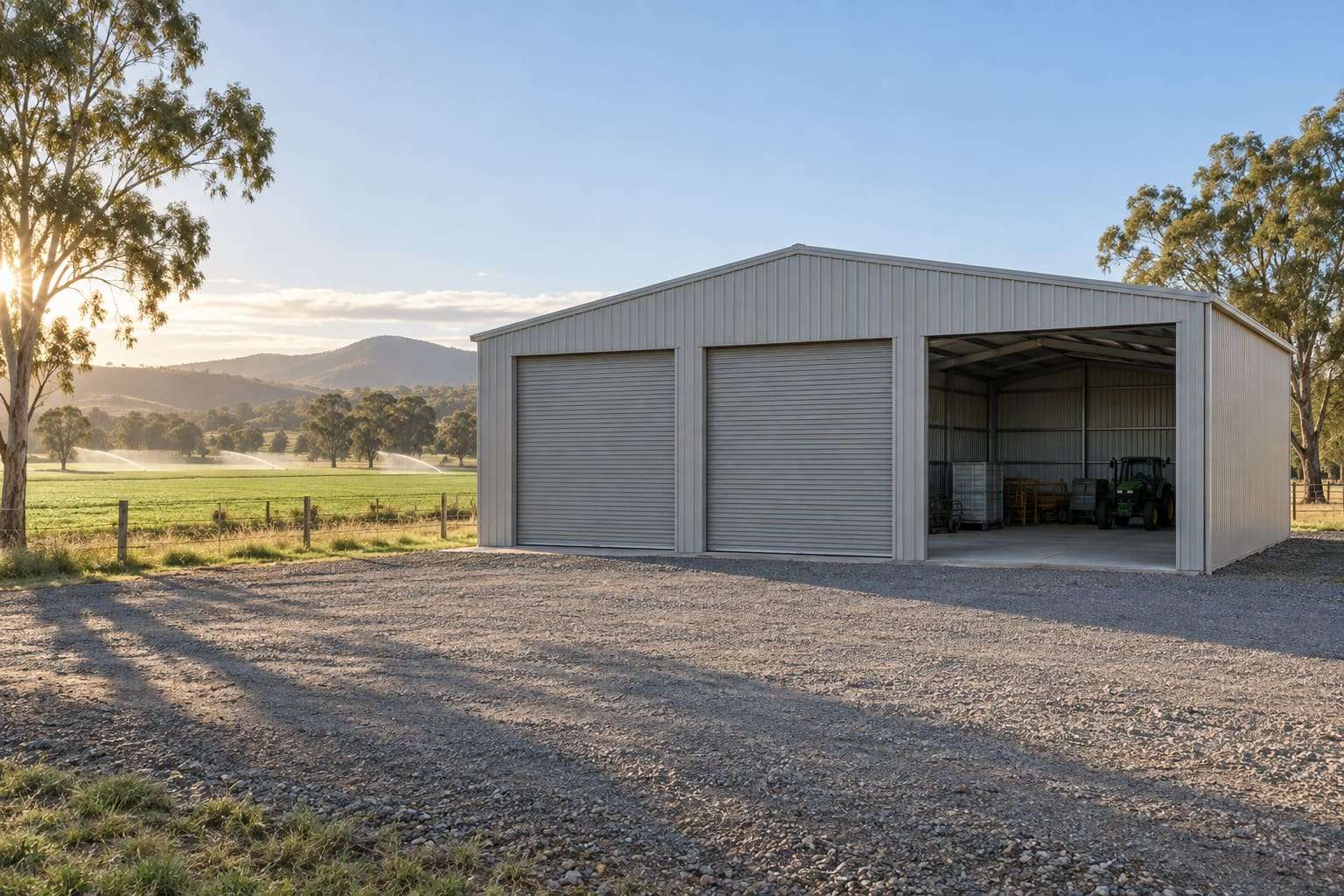
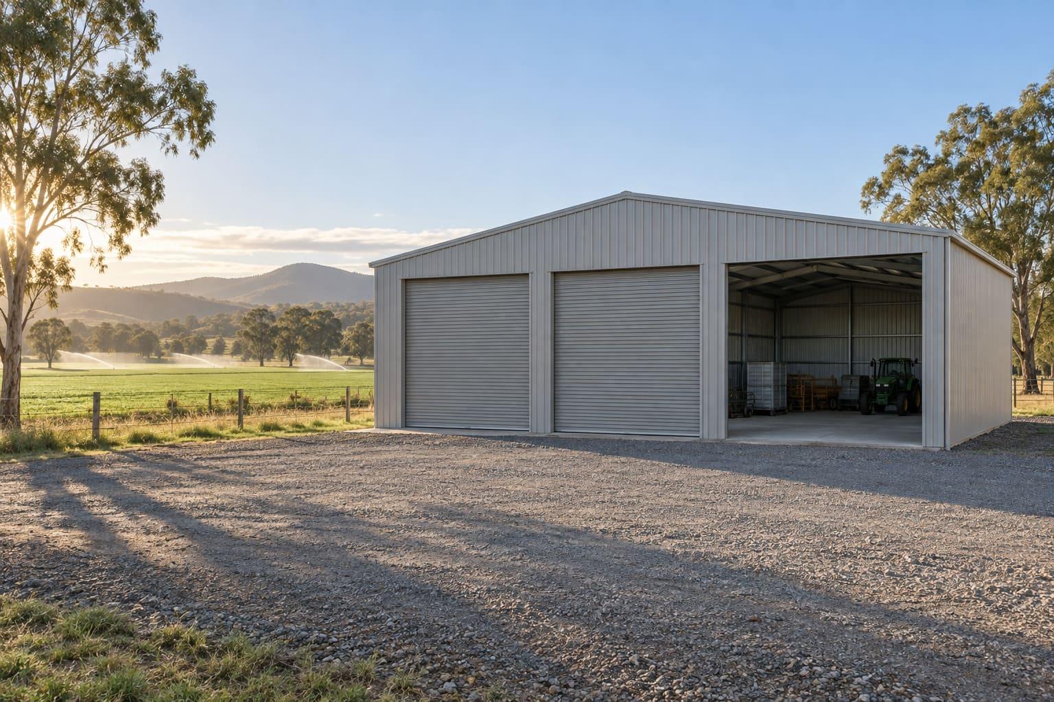
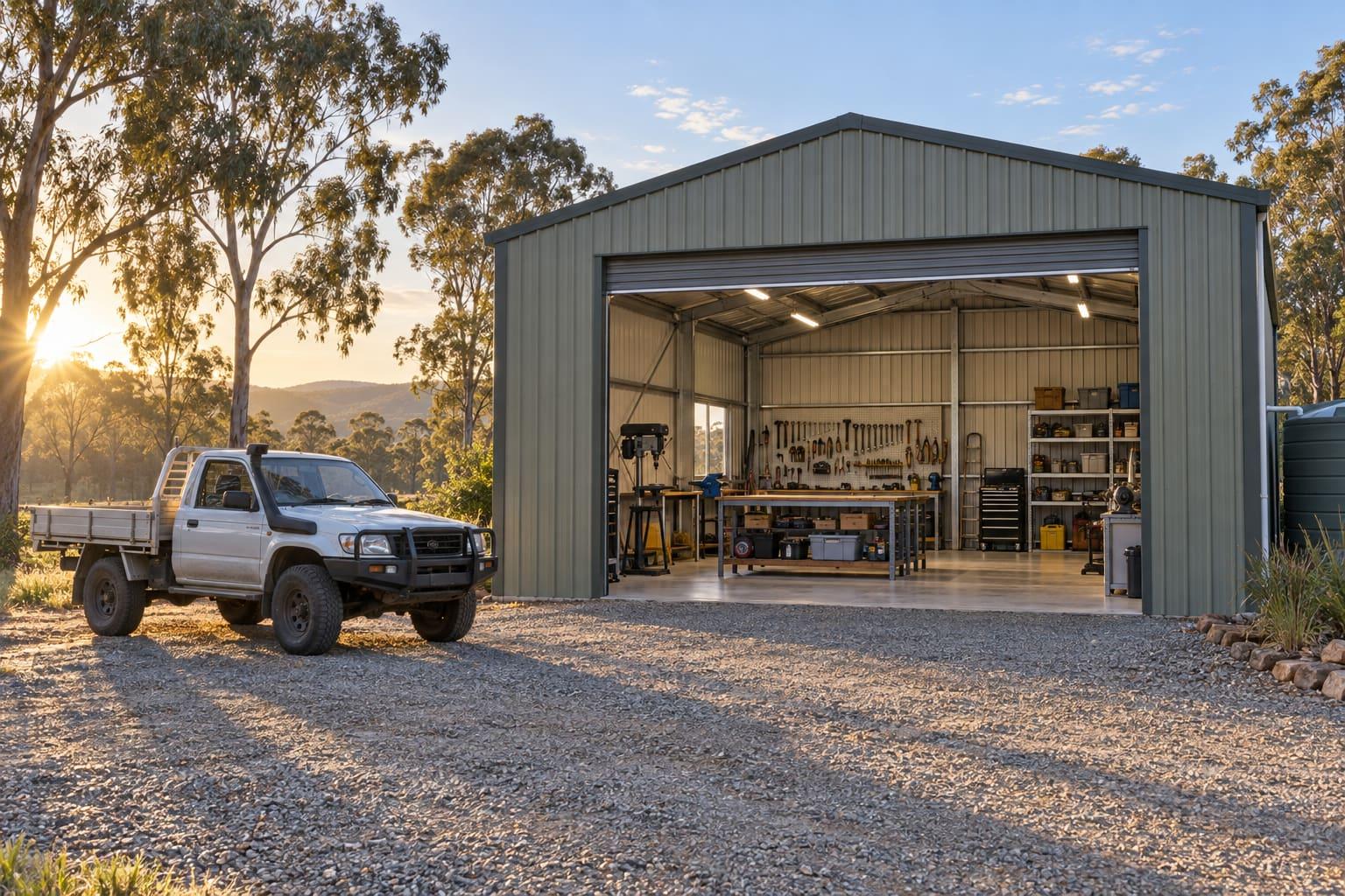
Childers and Woodgate are in Bundaberg Regional Council, which says a shed used mainly for farming should in most cases be approved as a Class 7 or 8 farm building under QDC MP 3.7, and only rarely as Class 10. That changes the fire, access and structural rules the certifier applies.
Fraser Coast Regional Council publishes flood height prediction and storm surge mapping; the Mary River at Maryborough drains a catchment of over 7,000 km². Maryborough's heritage streets also sit under a Heritage and Neighbourhood Character Overlay.
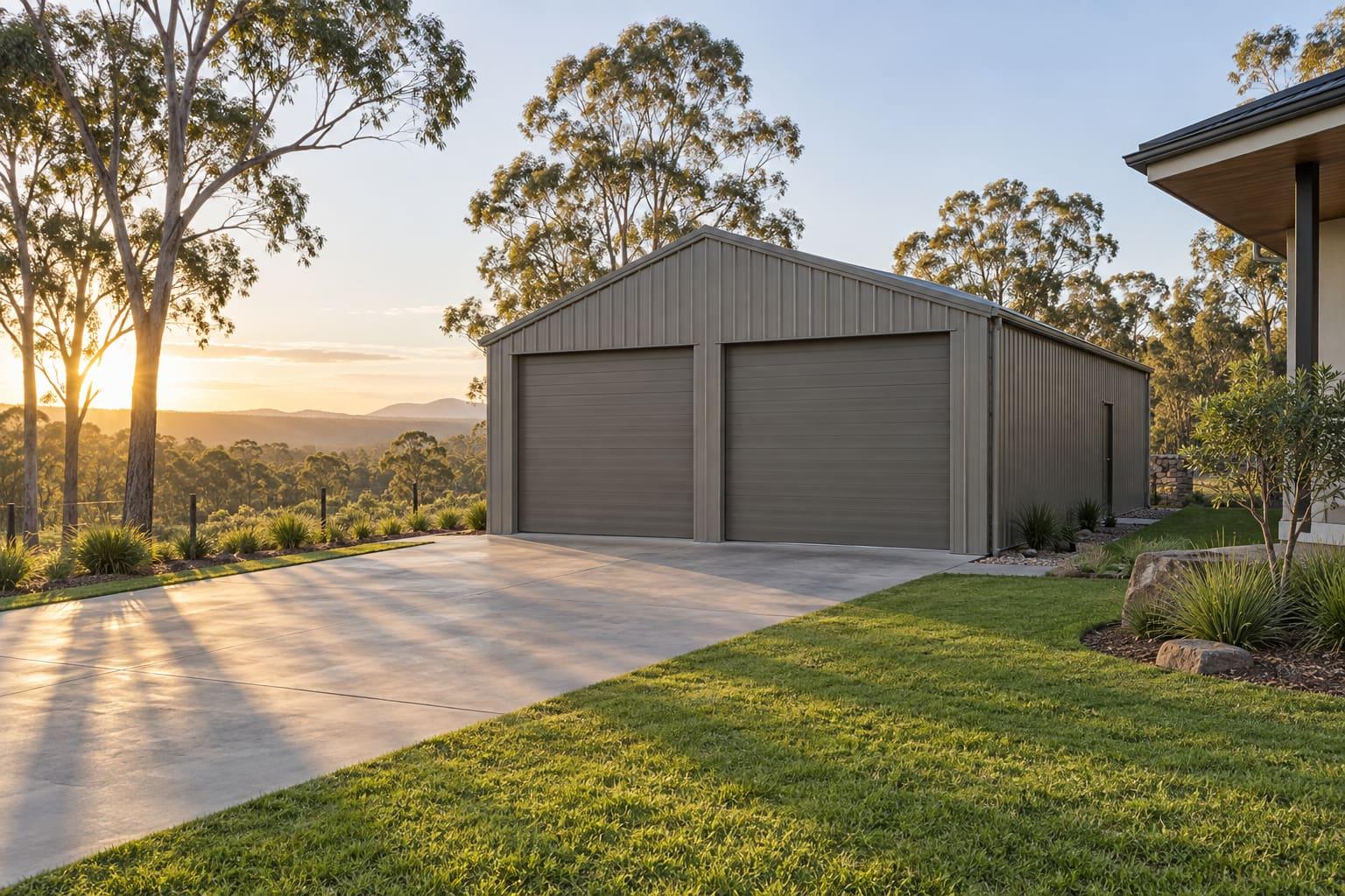
Hervey Bay's water is 'exposed' salt water in BlueScope's classification, which counts for a garage on the Esplanade side of town.